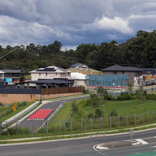
Planning, subdivision & titling for a new large development
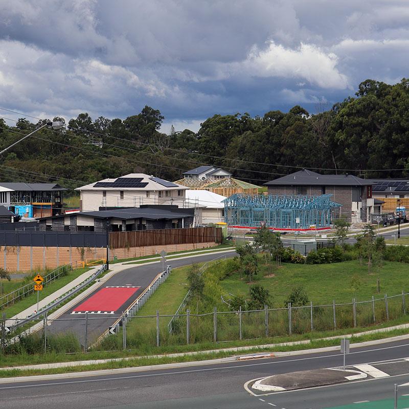
Planning, subdivision & titling for a new large development
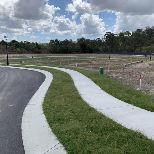
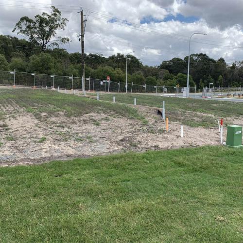
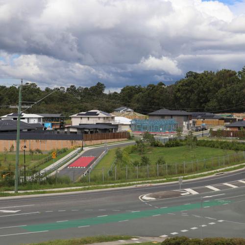
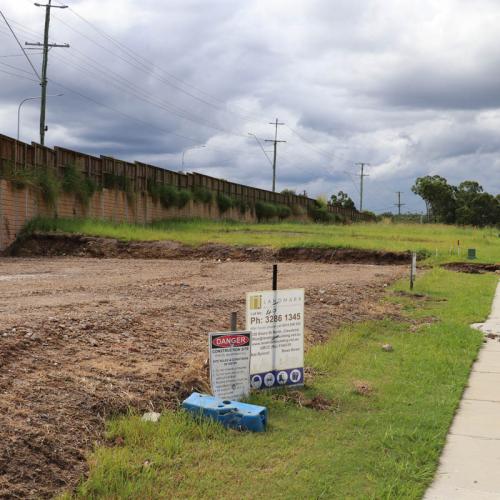
This land surveying project involved a subdivision and identification survey conducted in Brisbane, Australia. The purpose of the survey was to support the planning and development of a new residential subdivision, which would include multiple lots intended for housing development. The scope of work encompassed accurately identifying and mapping the existing boundaries, topographical features, and significant structures within the area.
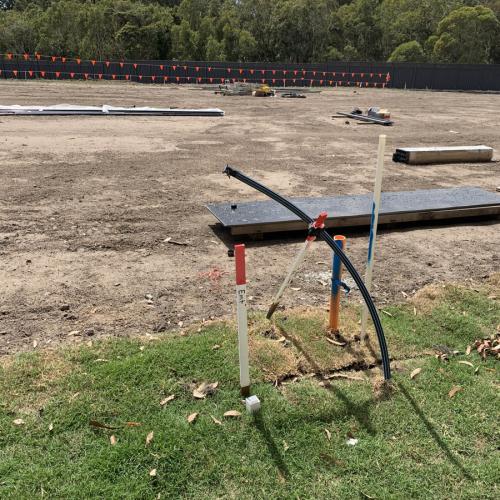
The survey began with a detailed site visit, where our team identified key reference points and boundary markers. Using advanced surveying equipment, including GPS and total stations, we captured precise measurements of the land’s contours, elevations, and other critical features. The subdivision plan required clear demarcation of property lines, easements, and access points, which was integral to ensuring compliance with local zoning regulations and planning guidelines.
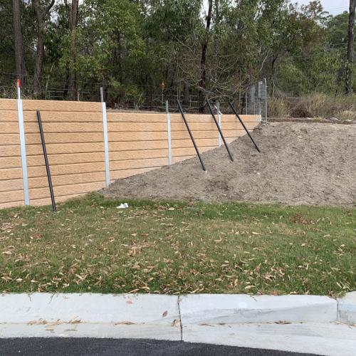
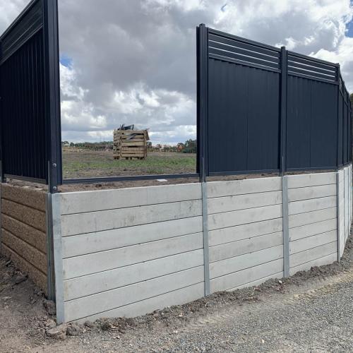
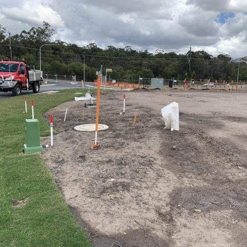
Additionally, we performed an identification survey to confirm the exact location of existing infrastructure, including roads, utilities, and drainage systems. This step was essential for identifying any potential encroachments or conflicts between proposed development and existing structures. We also accounted for any natural features such as slopes, trees, and watercourses that could influence the subdivision design and construction process.

